The value of atlases
Atlases are invaluable products of the Marine Data Centre since they serve as comprehensive repositories of spatial and temporal data. They offer visual insights into various environmental factors that can influence salmon populations. These atlases include interactive and non-interactive maps, as well as a myriad of figures and provide users with comprehensive tools to make informed decisions.
The integration of atlases into our data centre also promotes collaboration and data sharing. By providing a centralized and accessible platform for data visualization, atlases can facilitate communication between researchers, conservation organizations, government agencies, and the public. This collaborative approach ensures that all parties have access to the same high-quality data, fostering a unified effort towards salmon conservation.
Our Atlases
Currently, we house three atlases: Oceanographic conditions, Contaminants, and Restoration.

Strait of Georgia Oceanographic Conditions Atlas
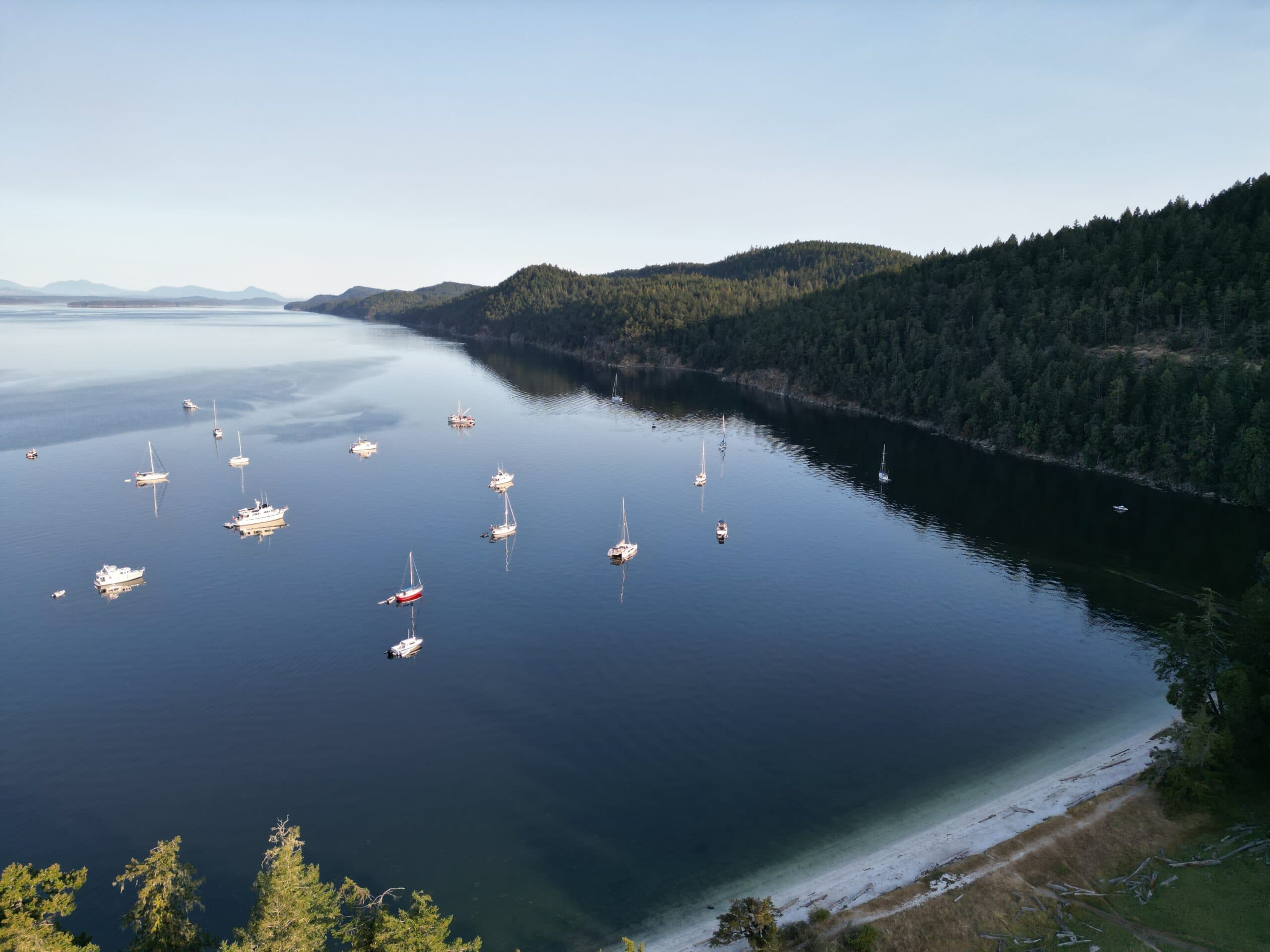
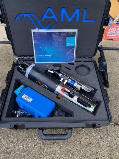
Our oceanographic atlas aims to further enhance our users’ understanding of the marine environment, where salmon spend a significant portion of their lifecycle. Based on data generated from the PSF Citizen Science Oceanography Program, we provide regional maps and figures on hydrography, nutrients, zooplankton, and harmful algal blooms. By correlating oceanographic data with salmon population dynamics, researchers can identify critical factors affecting salmon in the ocean and they can also predict how changes in the marine environment might impact future populations.
View Atlas
Salish Sea Contaminants Atlas
Our contaminants atlas provides users with resources and information of spatiotemporal contaminant sampling. Salmon are highly sensitive to pollutants, which can affect their health, reproduction, and survival rates. The information presented in the atlas is essential for identifying areas that require attention and remediation, ensuring that efforts to preserve these environments are targeted and efficient.
View Atlas
Community Salmon Restoration Atlas
The Community Salmon Restoration Atlas focuses on another critical component of salmon conservation. Through this atlas, we provide information from community-led salmon habitat restoration projects throughout BC and the Yukon. By supplying a visual record of these efforts, we hope to aid in evaluating the success of different restoration techniques and prioritize future projects.
View AtlasFuture efforts
As the scope of the Marine Data Centre expands, the inclusion of additional atlases covering new topics will further enrich our understanding of BC’s marine ecosystems. We hope to continue to provide users with a dynamic and evolving resources that address emerging conservation challenges.

