OUR MISSION
Our main goal as a data repository is to ensure the data can be easily discovered, accessed, and used. The Marine Data Centre has made it a priority to follow best practices around data preservation, storage, and access. We do so by providing detailed metadata for all the datasets that are submitted and archived in our data portal. We also provide clear documentation of our records, which allows other users to understand the content and the purpose of the research, and it addresses security or confidentiality concerns.
Our metadata records provide with links to any websites or other repositories associated with the data, as well as a data citation.


WHY SHARE DATA?
Access to publicly archived data has been made possible by significant advances in information technology and communication. Open data leads to increased product visibility, recognition, and an increased number of citations. Some benefits of publicly sharing data include:
- Encourages collaboration amongst researchers.
- Reduces the probability of research repetition and provides researchers with the opportunity to build upon the work of others, saving time and resources.
- Assists in the development of integrated scientific programs, interdisciplinary studies, modelling, and ecosystem management.
- Allows for informed decision-making, leading to better environmental planning and policy.
OUR DATA PORTAL
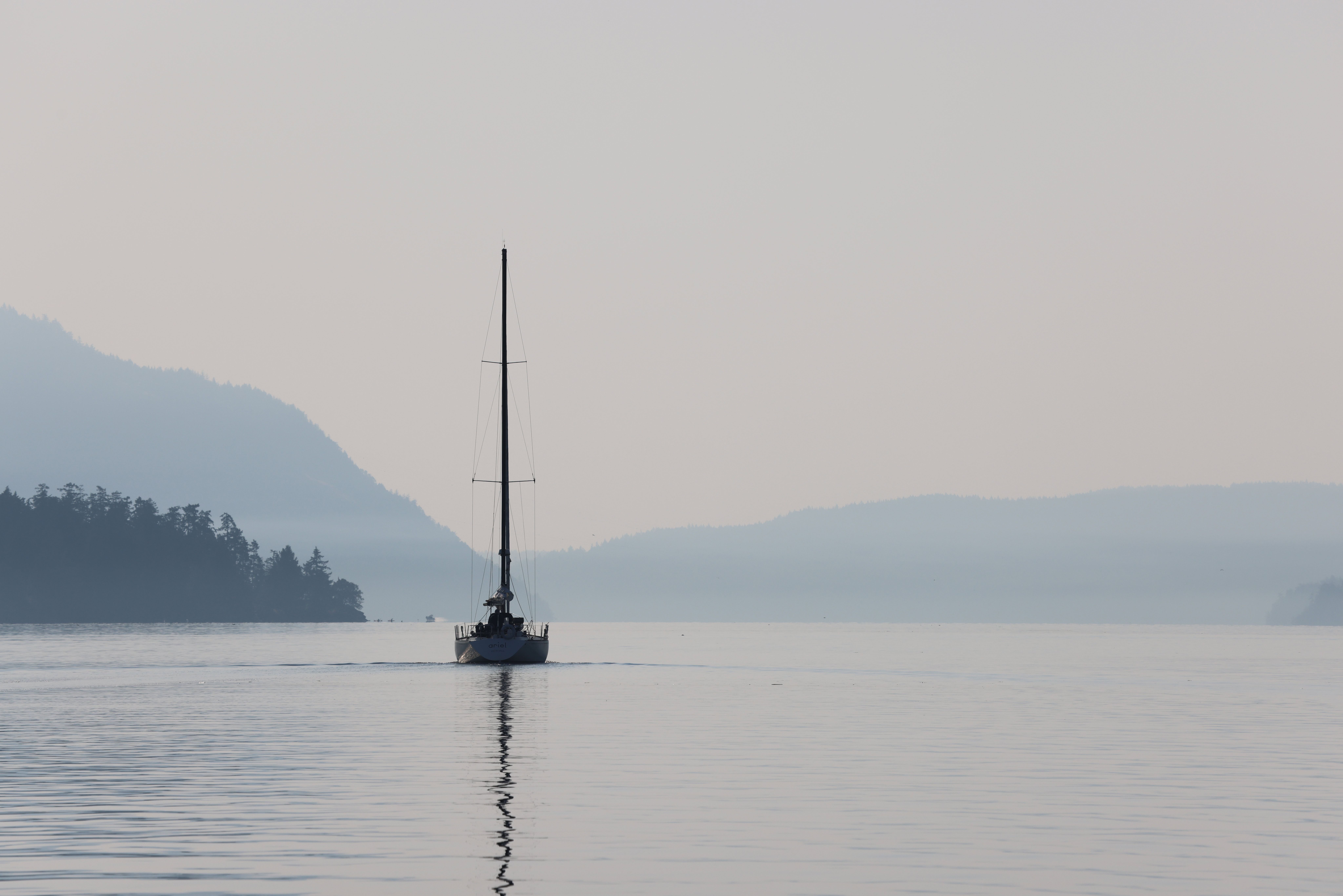
The Marine Data Centre holds data for ecological, environmental, and human use data for the Salish Sea and West Coast Vancouver Island. We use the term “data” in its broadest sense as we include information in a variety of formats. These include spreadsheets and databases, processed data for direct input to GIS systems and models, existing maps and images, historic photographs, and videos.
Our Data Centre has been built on three main open source applications. GeoNetwork, the repository for industry-standard metadata; PostGIS, designed to hold data products; and GeoServer, which operates between the PostGIS data storage unit and the user, and creates a variety of data products at the request of the user.
Advantages of using open source software include compatibility with international standards, no licensing costs, and rapid application development cycles.
Note that the contents in our Data Portal are not complete… collation and incorporation of data is an ongoing process!

ACCESSING OUR RECORDS
Our records can be accessed through GeoNetwork or GeoServer. GeoNetwork provides access to our data portal, which allows for searching and filtering of metadata records in a more traditional fashion. Geared towards GIS users, GeoServer allows for on-the-fly coordinate re-projection, document re-formatting, data downloading in any format.

