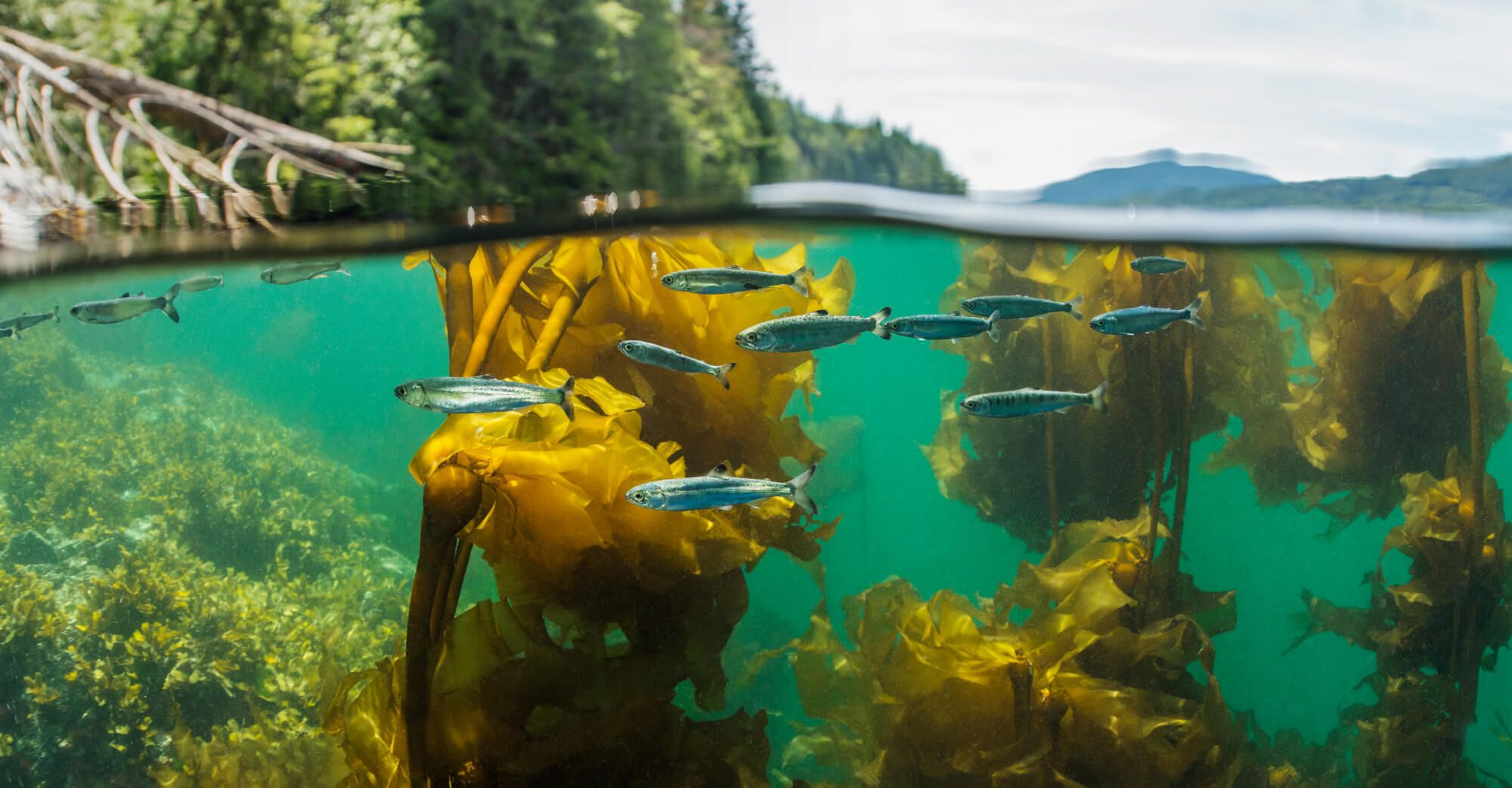
About the Shoreline Mapping Initiative
The Resilient Coasts for Salmon initiative has completed a five-year effort (2021 to 2026) to map shoreline features of concern along the eastern coast of Vancouver Island. These features include shoreline modifications (such as seawalls and riprap), overwater structures (including piers and docks), and log accumulation. Man-made structures and excessive log buildup can disrupt natural coastal processes, degrade habitat quality, and impact species that rely on nearshore environments, including Pacific salmon. Learn more about the effects of these features below.
The Shoreline Mapping Atlas serves as a central platform to support researchers, planners, and community members in making informed decisions to promote sustainable coastal development, healthy ecosystems, and resilient shorelines.
Shoreline Mapping Results:
- Explore Resilient Coasts for Salmon data layers, including Shoreline Modifications, Overwater Structures, and Log Accumulation.
- Overlay additional layers, such as forage fish spawning habitat and sensitivity to sea level rise, to analyze our data within a broader context.
- Download datasets for further research and decision-making.
Additional Components:
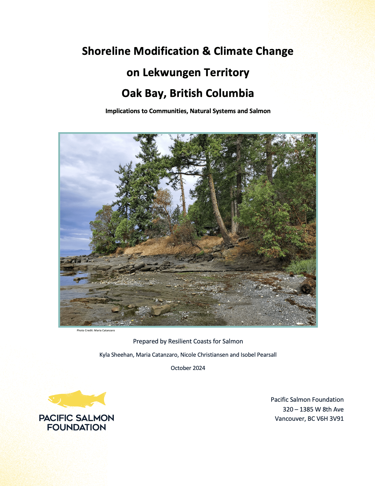
- Community Reports to view localized shoreline assessments from several communities on the East Coast of Vancouver Island.
- Coastal Adaptation Reports to learn about strategies employed at the local governments scale in the CRD and Islands Trust regions.
- Spotlight Communities to explore high-level results from other coastal communities.
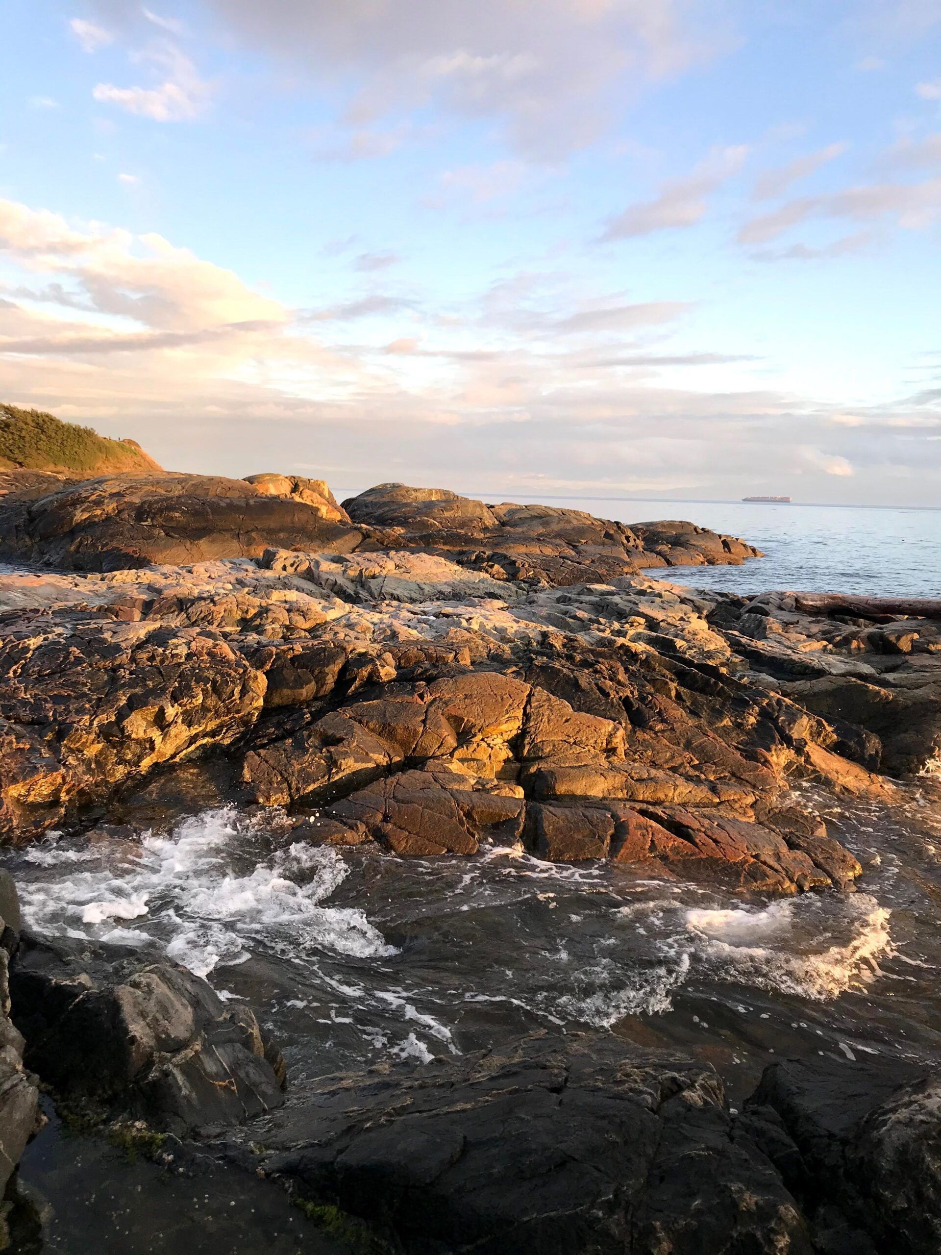
Resilient Coasts for Salmon Layers:
As a part of our mapping initiative, we are focused on tracking three main feature types:
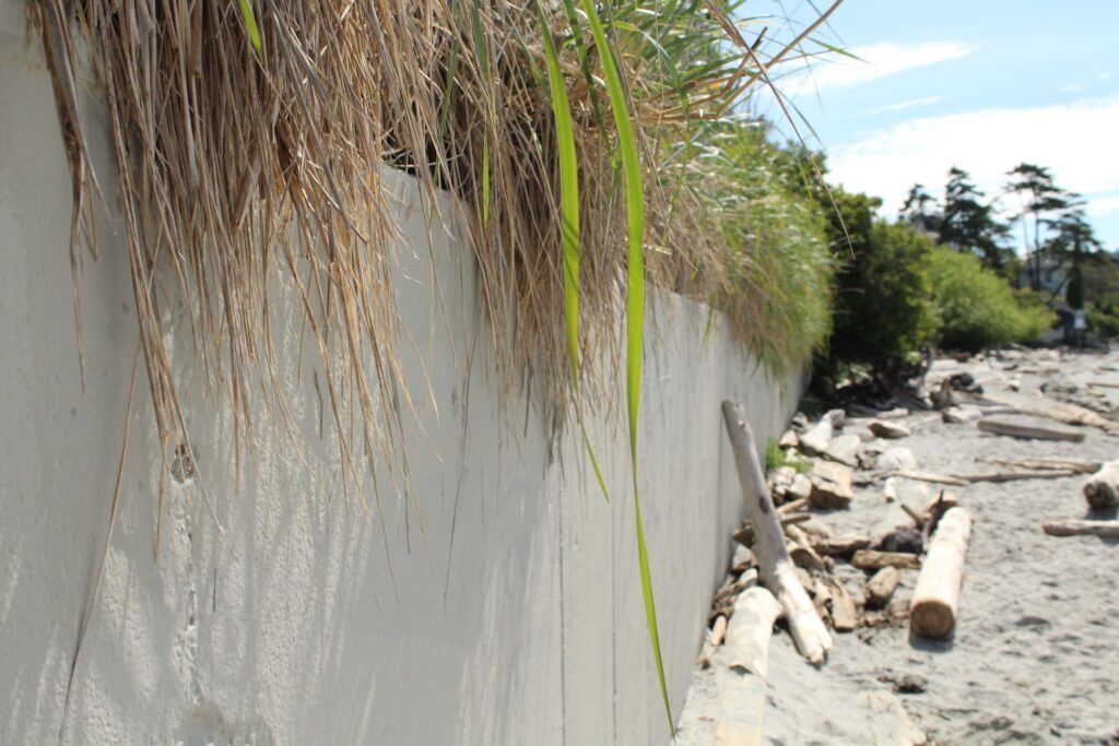
Shoreline Modifications
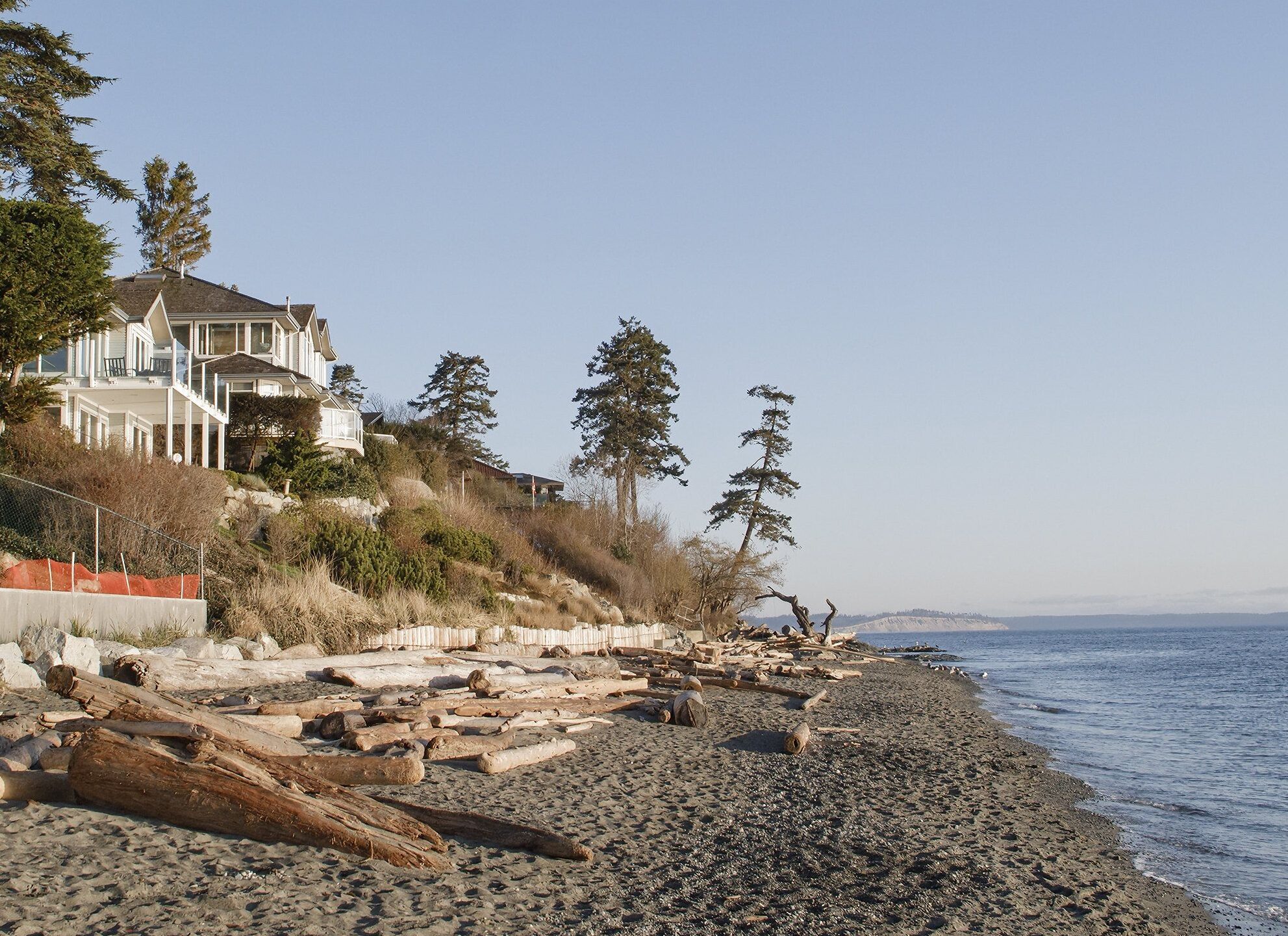
Man-made structures like seawalls and riprap, often built to protect shoreline infrastructure, can actually exacerbate erosion by redirecting wave energy to nearby areas. These modifications also remove key intertidal habitats and food sources essential for the growth and survival of juvenile salmon and forage fish. By stripping away the natural complexity of coastal ecosystems, shoreline modifications reduce their capacity to support biodiversity and adapt to rising sea levels.
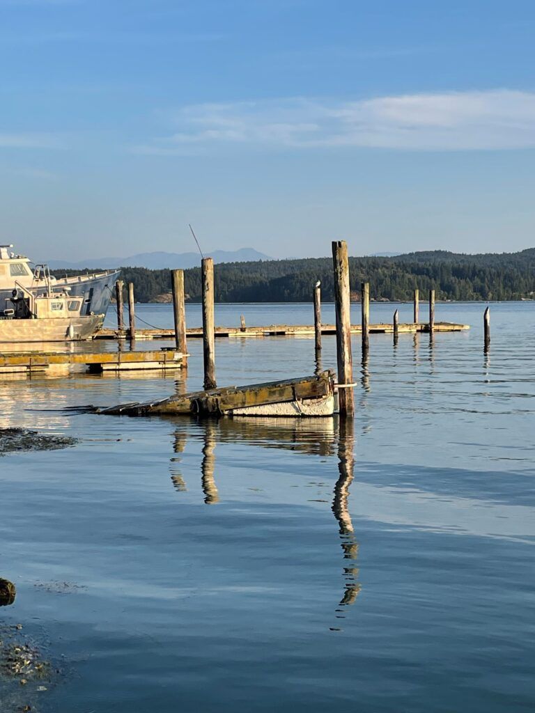
Overwater Structures
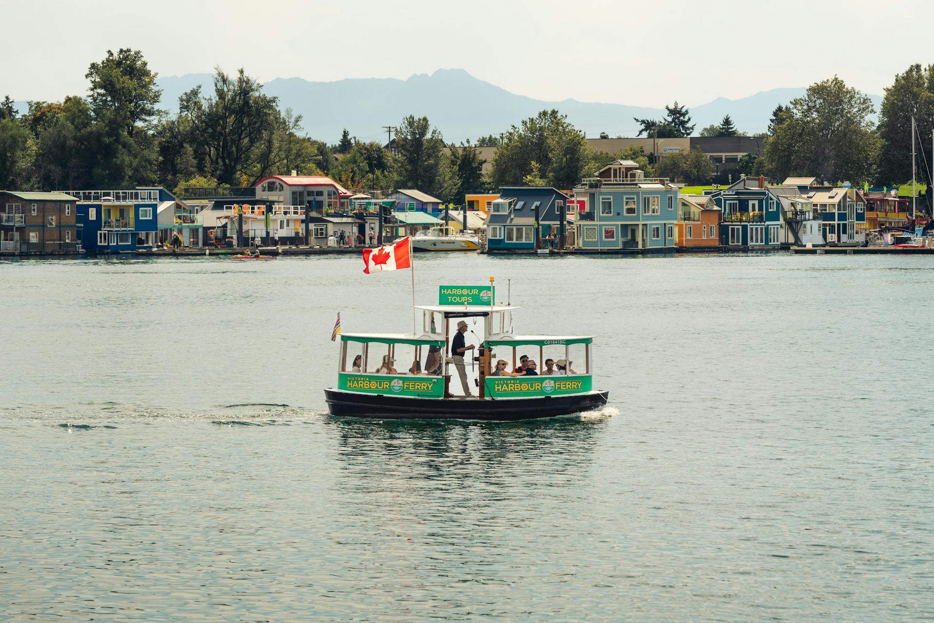
Overwater structures, like docks and piers, cast heavy shade that degrades nearshore habitat. Juvenile salmon avoid these shaded areas, which alters their natural foraging and migration patterns by forcing them into deeper waters. There, they expend more energy and face greater predation risk. The reduced light also limits the growth of essential habitats like eelgrass and algae, along with the diverse communities they support.
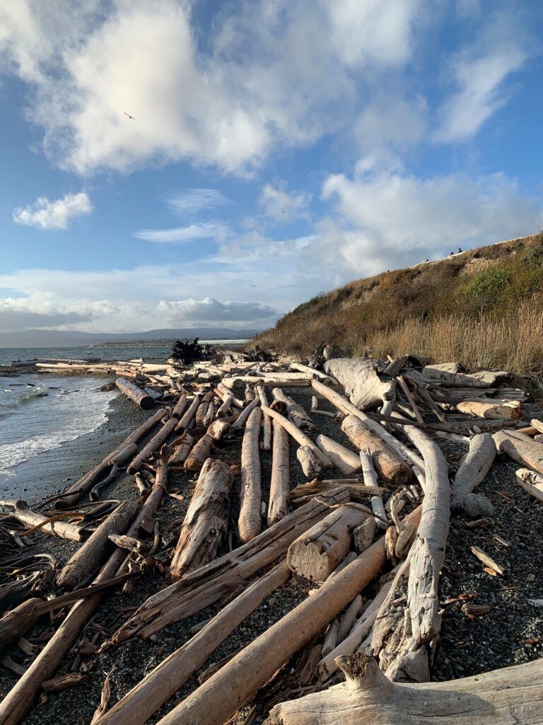
Log Accumulation
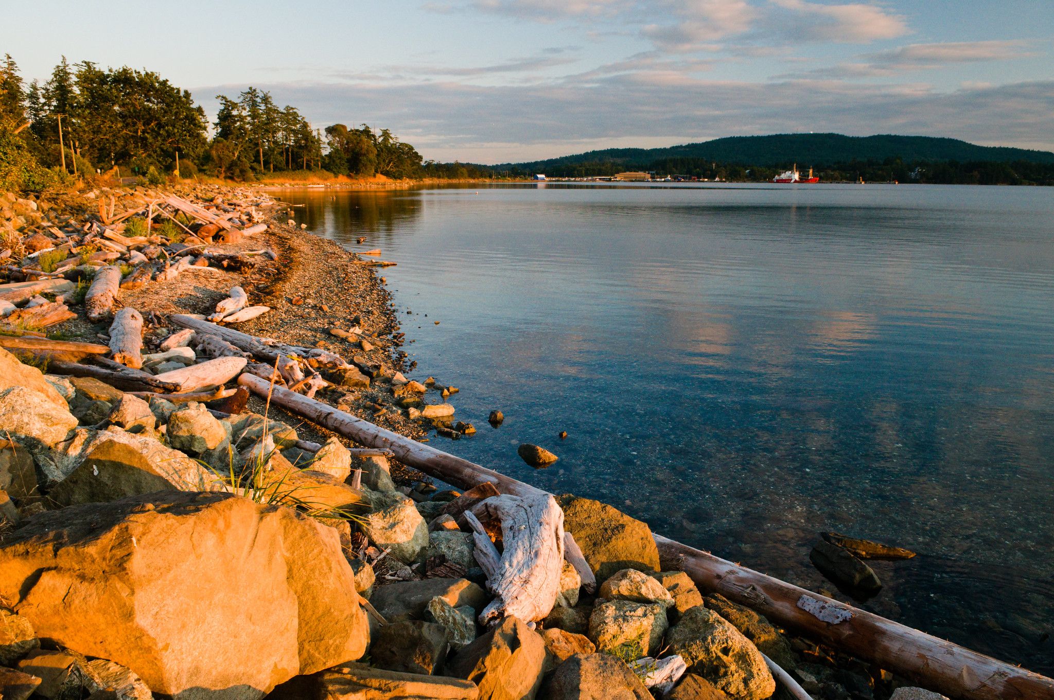
While logs are a natural part of coastal ecosystems, modified logs that escape from log booms can accumulate in excess, scouring beaches, altering sediment composition, and smothering nearshore vegetation. Unlike natural logs, modified logs are stripped of root balls and branches, making them unstable and prone to rolling across critical habitats that juvenile salmon and forage fish rely on for growth, food, and shelter.
To learn more about the impacts of shoreline modifications in the face of rising sea levels, check out our Climate Change Primer. To access and download the Resilient Coasts for Salmon layers, see below.
Explore Our Map
The map widgets in the sidebar can help you navigate the data and optimize your interactive experience. For additional guidance, please refer to our User Guide. We recommend using Google Chrome on a laptop or desktop for the best viewing experience.
 Home
Home
 Layers List
 Legend
 Feature Info
 Basemap Gallery
 Share
Share
 Attribute Table
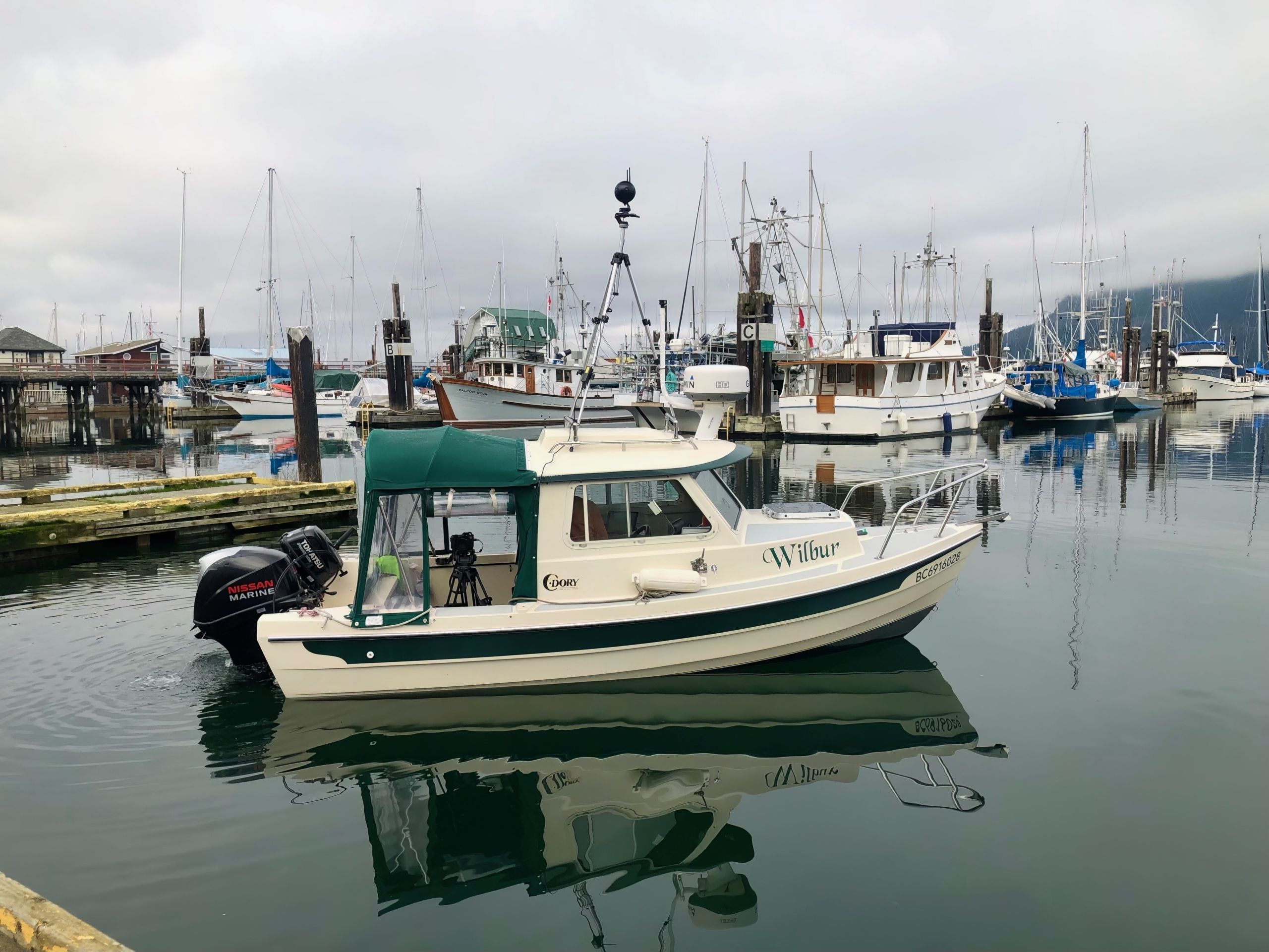
This map showcases the shoreline imagery that was used to build the Resilient Coasts for Salmon data layers. We are committed to the respectful and appropriate use of this imagery. If you notice any images that you would like removed or blurred, please contact us at . Your feedback is essential to the success of our mapping initiative. To share your thoughts, suggestions, and technical difficulties, please fill out our Feedback form.
Access the Data
Click the button below to access the Resilient Coasts for Salmon datasets in the Marine Data Portal. Here, you can download our data layers in various formats for your own use. You’ll also find our protocols, which outline how the data was digitized and include data dictionaries that define key terminology. We encourage you to stay in touch and let us know how you’re using the data!
To access datasets from external sources, click on a data point within the desired layer on the interactive map. Then, scroll down in the pop-up window to find the ‘Access Layer Data’ button.
Community Reports
Click the squares below to explore reports for your community, each offering a localized assessment of shoreline alterations and log accumulation, along with recommendations for nature-based management.
Coastal Adaptation Reports
Check out the reports below to learn about the coastal adaptation strategies in place across the Capital Regional District (CRD) and Islands Trust regions, along with the barriers these communities face in implementing nature-based approaches.
Spotlight Communities
For these communities, we did not create full reports, but you can click the squares below to explore high-level results, including the extent of coastal modification, and download static maps of Resilient Coasts for Salmon data.
Additional Resources / Future Recommendations / /
- Marine Ecosystem Map: this is an interactive web-based data visualization platform, complete with over 450 layers of marine and coastal data for you to explore.
- Shore Zone: this initiative utilizes aerial surveys to inventory geomorphological and biological features of the shoreline.
- Maybe we could use the CRIMS https://maps.gov.bc.ca/ess/hm/crims/
- Newsletter: Shoreline modification impacts on salmon: ???
- Newsletter Vol. 3: Nature-based solutions for climate change:
- Climate Change Primer:
- Toolkits:
- Field Guide to Shoreline Mapping:
- Insert text
Funders & Collaborators
Resilient Coasts for Salmon is a collaborative initiative led by the Pacific Salmon Foundation with contributors such as the Stewardship Centre for British Columbia, World Wildlife Fund – Canada, Peninsula Streams and Shorelines, and many others. Resilient Coasts for Salmon is funded in part by the Government of Canada.
